
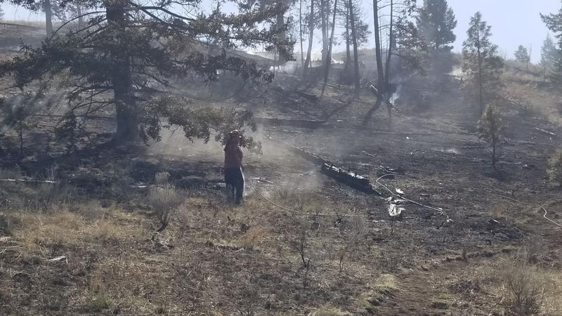
File Photo (Image Credit: CFJC Today)
Wildfire Picture
TNRD issues ‘all clear’ to hundreds of properties near White Rock Lake wildfire
Sep 2, 2021 | 12:20 PM
-
Share on Facebook
-
Share on Bluesky
-
Share on X
- Copy Link
KAMLOOPS — A significant portion of Thompson-Nicola Regional District properties bordering the White Rock Lake wildfire have been given the all-clear.
Thursday morning (Sept. 2), the TNRD announced 366 properties have had their evacuation alerts rescinded:
- 4523 to 5737 Back Rd;
- 6562 to 6580 Becker Rd;
- 4732 to 4754 Buff Frontage Rd;
- 6607 to 6725 Bulman Rd;
- 6539 to 8700 Douglas Lake Rd;
- 3011 to 6975 Hwy 97;
- 4120 to 4249 Kristianson Rd;
- 3665 to 3862 Mill Rd;
- 3706 to 3903 Monte Lake Rd;
- 3928 to 5970 Paxton Valley Rd;
- 5179 and 6639 Pringle Rd;
- 6572 to 6919 Service Rd;
- 5209 Six Mile Creek Rd;
- 4294 Strong Rd;
- 5469 to 5545 Westlund Rd;
- 6365 to 6504 Westwold Station Rd; and
- any other properties within the boundary on the map below:
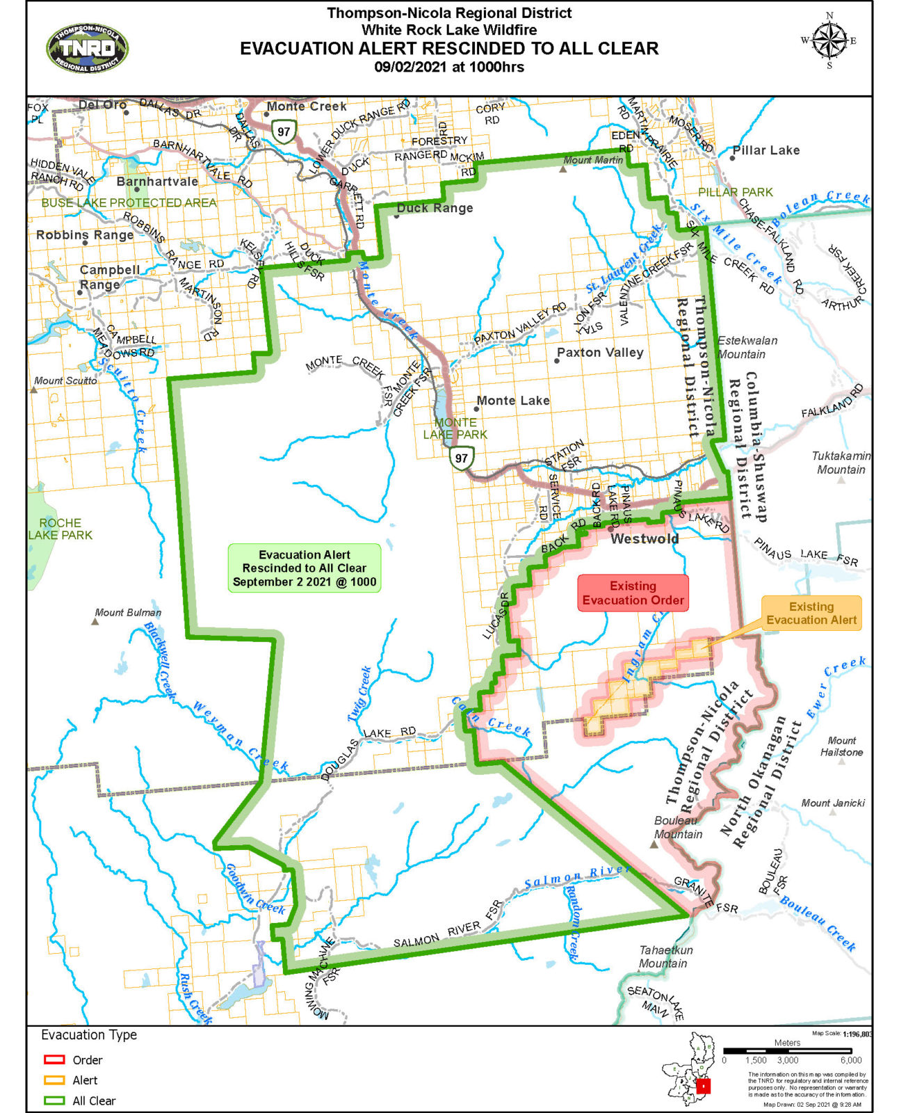 Image Credit: TNRD
Evacuation orders remain in place for affected properties in four regional districts — TNRD, Columbia-Shuswap, Central Okanagan and Regional District of North Okanagan — as well as the Okanagan Indian Band.


