Get the Top, Local stories delivered to your inbox! Click here to join the daily Vernon Matters newsletter.
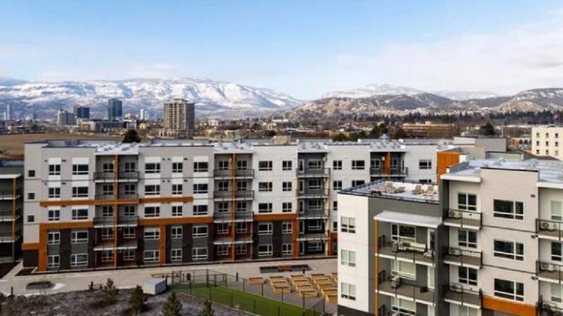
The view of Vernon from Mission Hill (Vernon Matters file photo)
Drought Conditions

Okanagan’s Drought Rating steady at Level 2, snowpack nearly depleted

Jun 19, 2025 | 10:25 AM

For the second consecutive week, the Okanagan Basin was ranked at Drought Level 2 Thursday.

The update on June 19 from the B.C. River Forecast Centre indicated the conditions were on the low end of the drought severity scale that ranges from Level 0 to Level 5, though was more than just “abnormally dry” as indicated by a Level 1 rating.

The River Forecast Centre said widespread rainfall was expected in the following week, with the heaviest amounts in the northeast and southeast, which could help ease drought conditions in some areas. It also stated there were major heat events in the short term forecast.

However, the agency did state that ‘Salmon River (near Salmon Arm) flows are steadily declining and may reach levels of risk to aquatic ecosystems earlier than last year’ adding ‘further declines in flow and rising stream temperatures for tributaries in Okanagan, Nicola and Vancouver Island continue to pose risk to aquatic ecosystems.’

Elsewhere in the region, the Similkameen basin saw its rating rise from Level 2 to Level 3. However, the Nicola basin’s rating dropped from Level 2 to Level 1, while the Lower Thompson’s rating declined from Level 3 to Level 2. There were no changes to the Bridge, North Thompson or South Thompson basins, which were all ranked at Level 1.

Meanwhile, the River Forecast Centre also stated the Okanagan’s snowpack was at 11 per cent of normal as of June 15, while the provincial snowpack average was at 13 per cent of normal.

Comparatively, the Okanagan’s snowpack on June 15, 2024, was six per cent of normal, and on the same day of 2023 it was zero per cent.

Elsewhere in the Region, the Upper Columbia snowpack was at 30 per cent of normal, the North Thompson was at 23 per cent, the South Thompson was at 7 per cent, and the Similakmeen was at zero.

The agency said the first province-wide high-pressure ridge brought dry and seasonally warm temperatures to B.C. in the first two weeks of the month, which led to the remaining high elevation snow melting more rapidly.

There were no indications of elevated flood risks in the province, though it was noted higher elevation watersheds could be susceptible to sudden stream-flow rises if temperatures rise to extreme levels, especially if widespread heavy rainfall were to occur directly after those events.

The risk of droughts locally and provincially remain a possibility for the summer of 2025.

“Several factors have increased drought hazard this upcoming summer season, including low provincial snowpack, earlier snowmelt, persistence of drought impacts from previous seasons, and upcoming seasonal weather forecasts are all significant factors for province-wide concern for drought hazard this summer,” the River Forecast Centre said.

“The causes of drought in B.C. are multifaceted. While snowpack can play an important role in areas, other factors such as the rate of snowmelt, spring and summer temperatures, and short- and long-term precipitation trends may have equal or greater importance in governing the emergence of drought this summer.”

The latest report on the snowpack is the final one the River Forecast Centre will provide for this season.

View Comments