Get the Top, Local stories delivered to your inbox! Click here to join the daily Vernon Matters newsletter.
Stock photo (ID 186028149 © Project007 | Dreamstime.com)
Snowpack Report

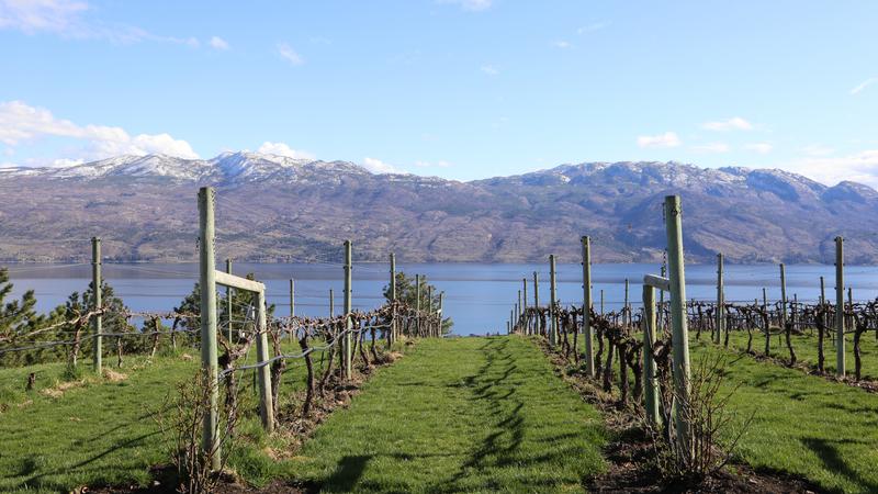
Okanagan snowpack dropped significantly in late May

Jun 11, 2025 | 9:03 AM

The Okanagan region saw its snowpack levels fall dramatically in the second half of the previous month.

The B.C. River Forecast Centre said the regional snowpack was at 44 per cent of normal as of June 1.

That was down from the previous reported levels of 66 per cent on May 15, and 7 per cent of normal as of May 1.

British Columbia’s snowpack level also fell to 44 per cent of normal as of June 1.

That decline was marked by some areas falling to very low snowpack levels including Similkameen (0 per cent), Central Coast (0 per cent), Middle Fraser (19 per cent) and East Kootenay (24 per cent).

The highest snowpack level as of the latest report was recorded in the Stikine region (148 per cent), but that was followed by the Lower Thompson and Upper Columbia areas where the snowpack levels were 65 and 64 per cent of normal, respectively.

The River Forecast Centre said the second half of May began with cooler and wetter weather, but a high pressure ridge moved over the region towards the end of the month and into the first week of June. That ridge brought hotter, drier conditions to much of the province, especially the Interior.

The agency said there was no elevated flood risks in B.C., though said “higher elevation watersheds are susceptible to sudden streamflow rises if significant heat occurs in early June, especially if widespread heavy rainfall occurs immediately afterwards.”

The River Forecast Centre added that very low snowpack levels, rapid snowmelt, persistent impacts of previous droughts, and upcoming seasonal weather all play a role in summer drought hazards.

As of the latest update on June 5, the Okanagan was at Drought Level 1, the second lowest rating on the province’s drought scale, which indicated “abnormally dry conditions.”

View Comments