Get the Top, Local stories delivered to your inbox! Click here to join the daily Vernon Matters newsletter.
Hot temperatures/Vernon Matters Staff
Spring scorcher

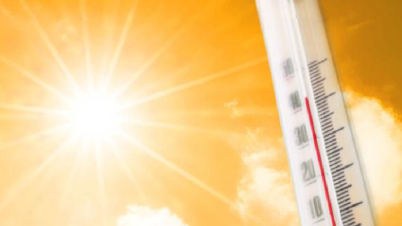
Okanagan expected to top 30C for first time this year, flirting with heat record

May 28, 2025 | 10:32 AM

Update Wednesday 4pm:

Unofficial temperatures did indeed pass the 30C mark Wednesday afternoon.

Original story:

The Okanagan is bracing for its hottest day of the year so far, with both Vernon and Kelowna expected to surpass 30 degrees Celsius on Wednesday.

Environment Canada forecasts a high of 31C for Kelowna, approaching the May 28 record of 31.7C set in 1983 and 1986.

In Vernon, temperatures are also expected to reach 31C, nearing the historical high for this date. The highest temperature ever recorded in Vernon on May 28 is 34C, which occurred in 1992.

These marks would represent the first 30-plus degree readings of 2025 for both cities, arriving nearly two weeks earlier than the typical first occurrence in early June.

A ridge of high pressure is drawing warm air northward through British Columbia’s Interior, contributing to the unseasonably high temperatures. Southern winds are anticipated to gust up to 40 km/h under sunny skies, and the UV index is rated very high, prompting advisories for sun protection and hydration.

The sudden heat follows a spring characterized by fluctuating temperatures and above-average precipitation. According to Environment Canada, the average maximum temperature for Kelowna in May is around 19.2C, making today’s forecast significantly higher than normal.

Local authorities are urging residents to take precautions against the heat, especially vulnerable populations such as the elderly and young children. Cooling centres have been set up across the city, and residents are encouraged to check on neighbours who may be at risk.

Temperatures are expected to return to seasonal norms by Thursday as a cooler air mass moves into the region. However, with the summer forecast predicting warmer-than-normal conditions, this may be a sign of more heatwaves to come.

View Comments