Get the Top, Local stories delivered to your inbox! Click here to join the daily Vernon Matters newsletter.
Vernon as seen from the Grey Canal Trail at Turtle Mountain (Image Credit: Liam Verster / Vernon Matters)
Winter Weather

Arctic front causes Okanagan cooldown

Feb 19, 2026 | 6:01 AM

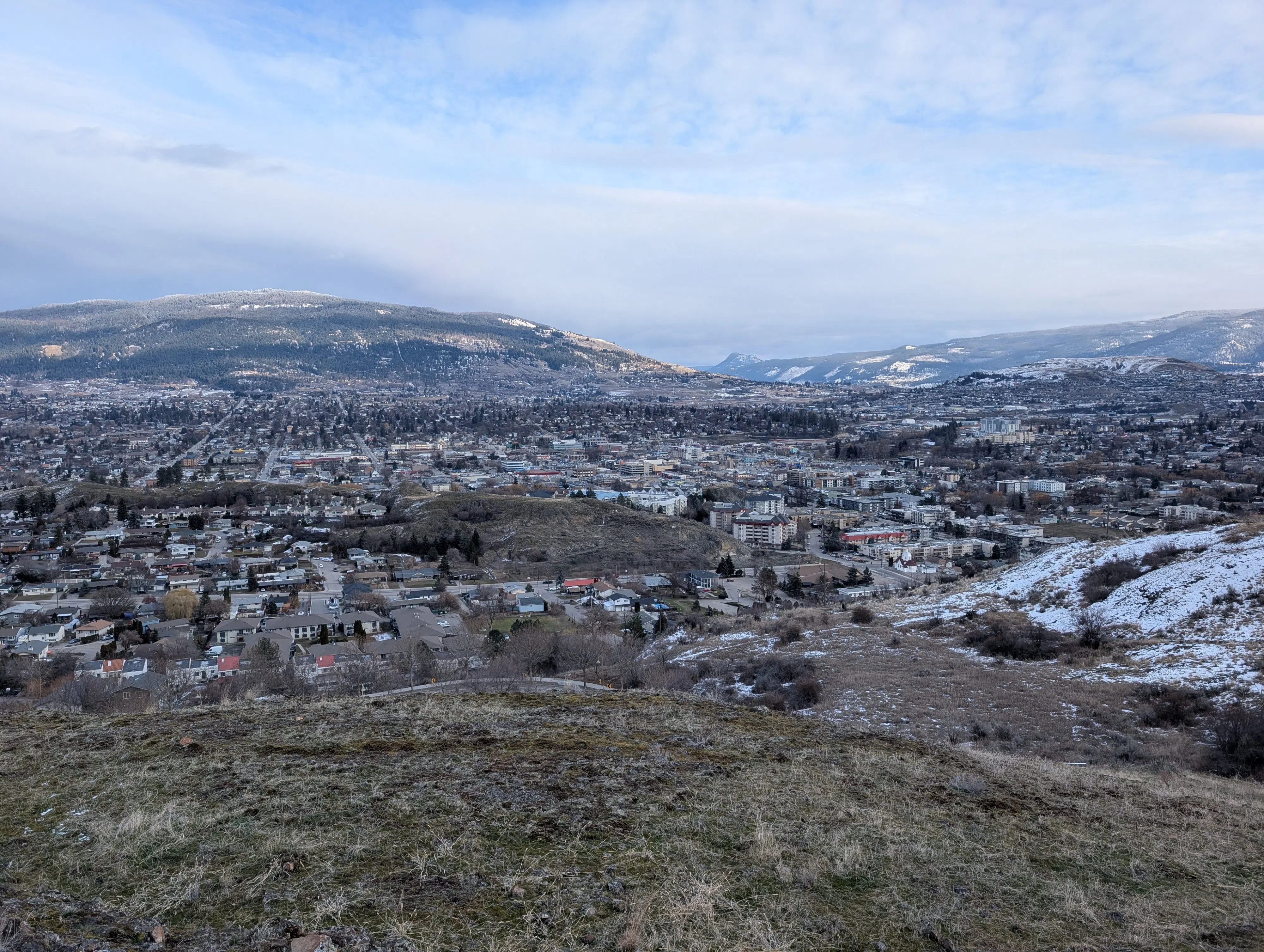
A cold air system moving down from the artic circle led to temperatures in the Okanagan Valley dropping in recent days.

Colin Fong, a meteorologist with Environment Canada, said the arctic front pushed cold air mainly into Northern and Central B.C., but some of it did make it’s way down into the valley.

“That cold air does kind of filter down ahead of it, it filters further south, and when it does so it gets down into Vernon and the Okanagan Valley, for example,” Fong told Vernon Matters.

“As the cold air sort of filters ahead of the cold, arctic air, it tends to get kind of modified. So by the time it reaches, say, Vernon, it’s already lost a lot of its arctic air and characteristics. So the true arctic air is sitting moreso over the northern part of B.C., and some of that cold air is filtering down towards Vernon, so as a result of course you’re going to be seeing some cooler temperatures.”

Fong noted the coldest nights experienced during this arctic push for Vernon were around -10C, which is cooler than the seasonal overnight lows of -3C for Vernon, but not extremely low.

“Not to say it hasn’t been cold,” the meteorologist added.

“[Tuesday] we saw a daytime high of -2C, [Wednesday] we may get in the neighbourhood of -3C, and [Thursday] looks to be a similar range for the daytime high.”

The cold air was not expected to last beyond the end of the week, when the forecast shows Vernon returning to seasonal temperatures of daytime highs around 3C or 4C and overnight lows around -3C starting on the weekend of Feb. 20.

The arctic push also brought some flurries to Vernon and the Okanagan, but it’s expected that more precipitation could come from another source in the short term.

“We actually do have this low pressure system spinning off the south coast, and that’s bringing a little bit of instability across southern B.C. as a whole, and as result that’s going to be bringing a chance of flurries,” Fong explained.

“That’s the forecast we’ve been seeing lately, just a chance from those unsettled conditions with that low [pressure system] sitting offshore.”

Environment Canada’s short term forecast for Vernon did call for a chance of flurries or rain showers Saturday night through Tuesday, as of the latest report.

Fong did not have a detailed long-term forecast, but did tell Vernon Matters that February was still the winter and could see more cold weather depending on the systems that move through the area over the coming weeks.

View Comments