Vernon Matters file photo
April's Weather

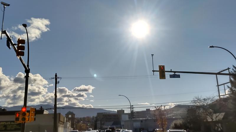
Precipitation levels well below average in April for Vernon and Okanagan

May 2, 2024 | 1:50 PM

Vernon and the Okanagan saw precipitation levels that were well below average last month.

Brian Proctor, a meteorologist with Environment and Climate Change Canada, told Vernon Matters April was an “interesting month” following the El Nino winter, as it was drier than normal.

“For Vernon, at the auto-station we have in the community, 19.9 millimetres [of precipitation] were reported,” Proctor said.

“Typically we see about 32 [millimetres in April], so about 60 per cent of normal.”

Proctor added Kelowna received 11.9 millimetres of precipitation in April, or 41 per cent of the average, while Penticton had 19.7 millimetres, or 76 per cent of normal.

Meanwhile, the average temperatures recorded in the Okanagan were near normal last month.

Proctor said Kelowna’s average temperature was 9.5 degrees, up slightly from the normal 9.0, while Penticton’s average was 8.8, down from the normal 9.1 degrees

“Vernon was much the same, 9.2 versus a mean temperature of 8.7. So just floating there, a little bit of temperature anomaly, but really very near the normal temperature,” the meteorologist said.

“In general, it was a cool, relatively normal month from a temperature point of view. We had a little bit of coolness and a little bit of heat, but it sort of averaged out. In terms of precipitation, normal to drier conditions through much of the area, which is not doing a whole lot to alleviate our concerns associated with drought and long-term moisture deficit.”

There were no temperature records broken in Vernon or Kelowna last month, though Proctor said the temperature in Penticton dropped to minus five overnight on April 18th, breaking a record low for that date set in 1964.

Looking ahead to May, Proctor said the moisture levels are low and there needs to be significant rainfall to offset drought conditions, though that may not occur this month.

“When we look at our seasonal forecast that was issued at the end of April, it’s sort of predicting warmer than normal temperatures by the second half of the month of May, and then looking very normal as we transition into the summer season,” Proctor told Vernon Matters.

“So we’re not seeing any huge heat domes, but at the same point in time, we’re not seeing any tremendous amounts of precipitation. So I don’t think we’re going to be getting a lot to alleviate the concerns associated with longer term drought.

“We really need those heavy June rains that we often see with a cold low season that meteorologists refer to it, or as some of the media refers to as ‘Juneuary,’ when we see those Junes that are quite cloudy and sees quite a bit of precipitation. We need those to really help get us into a better situation moving forward, and we’re not seeing any evidence of that in our long-range models as of right now.”

The meteorologist noted while the forecast for May does call for temperatures to climb in the last half of the month, he does not expect it to reach the highs seen during the heat wave in the same period of 2023.

The local snowpack levels are also very low, and Proctor said while that may reduce the risk of localized flooding, it also means there’s less moisture for fuels to absorb heading into the summer and wildfire season.

“The fuels are very receptive to fires at this point, so if we start turning the heat on in the second half of May, it could get very interesting very quickly,” Proctor noted.

View Comments