Get the Top, Local stories delivered to your inbox! Click here to join the daily Vernon Matters newsletter.
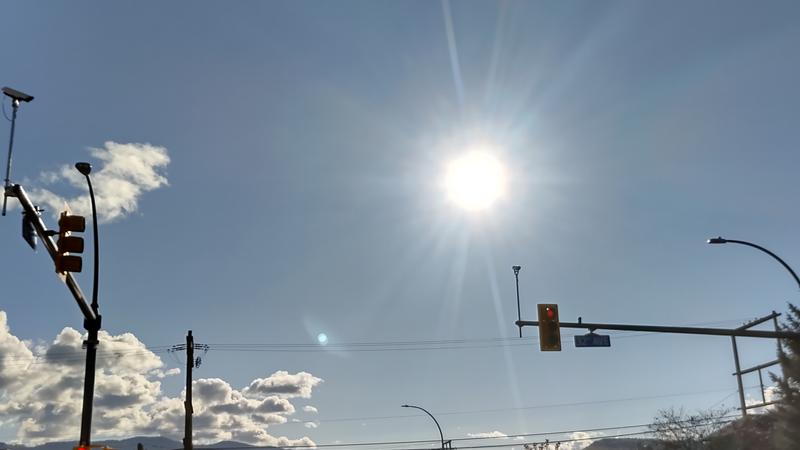
The sun shining down on Vernon Matters and Beach 107.5 on Wednesday (photo by Liam Verster / Vernon Matters)
Daytime Highs of 9 or 10

Above average temperatures, and snow, in Vernon’s short term forecast

Nov 10, 2021 | 1:51 PM

Vernonites are expected to see the mercury climb above the average markers in the next week.

Environment Canada Meteorologist Doug Lundquist told Vernon Matters that systems that are bringing rain to the coast are easing off as it reaches Vernon and the Okanagan.

“It’s good for us in the sense that we get those sunny breaks and it’s warm. For the next week we’re forecasting the overnight lows, not withstanding [Wednesday] night, anywhere between three and six degrees in general for the next several days, which is about our normal high,” said Lundquist.

Though the average daytime highs for this time of year are around 4 degrees, Environment Canada is predicting highs of 9 C or 10 C in the coming days.

Lundquist didn’t think that any record highs would be set despite the warmer than usual weather. Environment Canada’s website notes the record high for November 10 was set in 2002 when the mercury reached 11.8 C, though Lundquist said the weather agency has data that dates back to the late 1800’s, and while he couldn’t produce any specifics, he suggested there would be record daytime highs in that data in the low- to mid-teens.

He noted that Wednesday night does forecast an overnight low of zero and some flurries in Vernon, but that is expected to change into rain mixed with snow Thursday before seeing the mercury rise once again.

Lundquist said it’s not unusual to see snow fall in Vernon by the midway mark of November, but this year the temperatures are quite high, adding that any snow that does fall may cause some headaches for commuters, though it shouldn’t last too long in the valley.

That being said, he still recommends that commuters be prepared for winter conditions, especially when travelling in higher terrains, such as on the Coquihalla where a snowfall warning is in effect.

“We had 35 centimetres plus or minus of snowfall on the Coquihalla in the last 24 hours, so in the last system there we got a lot of snow,” said Lundquist.

“This is winter season for the high terrain, we’re going from snow to possible freezing rain in the mix for a while before turning to rain then back to snow. This is the pattern we’re getting over the high terrain for the next several months.”

He added that people travelling out of the Okanagan Valley should have their vehicles equipped with snow tires and chains, check weather forecasts and road conditions at DriveBC, and give themselves a big window of travel to ensure they are travelling in more favourable conditions, and to always drive safely and to the road conditions.

Lundquist added that by late next week, temperatures in the valley should be returning to the average figures, but said that it’s still a ways off and the forecast could change depending on what systems move into the region by then.

“The systems are barrelling by very quickly, so things can change on a dime.”

He also recommended that people take advantage of the warmer sunnier weather this week by getting outside and getting some sunshine, noting that the typical rainy, grey November weather can be harmful to a person’s mental health, and getting out in the sun will help with addressing seasonal affective disorder this time of year.

View Comments