Get the Top, Local stories delivered to your inbox! Click here to join the daily Vernon Matters newsletter.
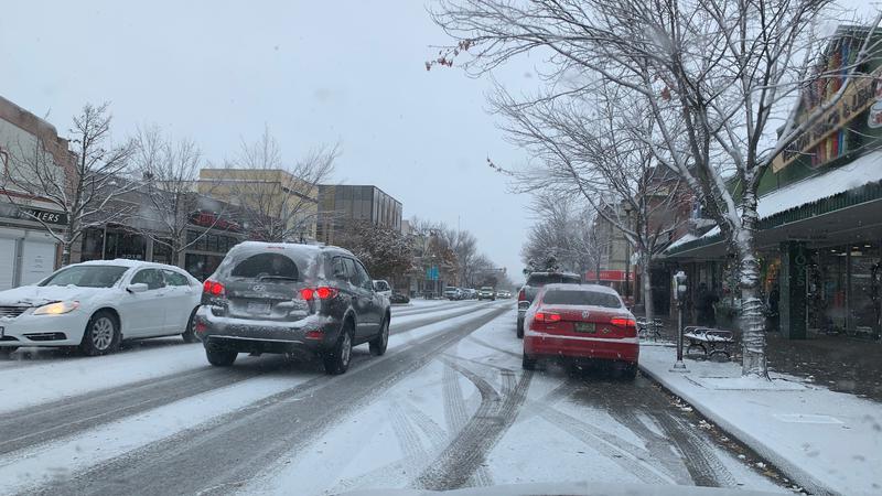
(File photo/Vernon Matters Staff)
No Records Set

Temperatures warming but heavy snow in Okanagan forecast

Jan 15, 2024 | 2:22 PM

The mercury has been climbing as the cold snap is coming to an end, but some heavy snow is in the forecast.

Speaking with Vernon Matters Monday, Jan. 15, Alyssa Charbonneau, a meteorologist with Environment Canada, said the frigid weather associated with the arctic blast is leaving the area.

“We’re still in the midst of [the arctic blast], it hasn’t completely left us, although we have seen temperatures moderate slightly, especially as we go into today,” Charbonneau said.

“Looking ahead, we are going to see a transition this week back to more seasonal conditions by the time we get to the latter part of the week.”

Average temperatures for Vernon in mid-January are daytime highs of -2 and overnight lows of -8.

Environment Canada’s data showed the mercury in Vernon dropped to a low of -28 on Jan. 13 during the cold snap.

That was not enough to break the previous record low for January, which was recorded at -35.6 in 1969. It also also more than 10 degrees warmer than the coldest temperature ever recorded in Vernon, which was -38.9 from December of 1968.

However, some other communities in the area set new records last week.

On January 12 and 13, Penticton, Osoyoos and Salmon Arm all saw record lows for the respective days, while Osoyoos also had its coldest Jan. 14 on record.

Though warming up, the winter weather has not completely ended, as a system coming off the Pacific is expected to meet the cold air and bring heavy snow to the region.

“Right now we are [forecasting] amounts between 10 to 20 centimetres-plus (of snow accumulation) across the Okanagan,” Charbonneau told Vernon Matters.

“The Vernon area is looking like about 15 to 20 cm possible, and that would [fall mainly] overnight Tuesday and Wednesday as well.”

She added the snowfall amount is a preliminary estimate and could vary should conditions change.

The forecast calls for more flurries through the week after the initial snow event, which Charbonneau said could be beneficial to the region.

“Any kind of precipitation is welcome. The snowpack has been well below normal, especially with this latest dry, cold period, it has also been quite dry, so I know the mountains are likely welcoming any snow and it is important for us to see precipitation,” Charbonneau said.

“We are hoping for that to help, especially as we head into spring. We do want to see the snowpacks start to build a little bit more from where they’ve been.”

Environment Canada has issued special weather statements for Interior highways, including the Okanagan Connector, the Coquihalla, and Rogers Pass, stating the snow can cause hazardous driving conditions.

With the snow expected to start Tuesday evening, Charbonneau encourages people prepare for the weather and check the forecast and road conditions at DriveBC prior to travelling.

View Comments