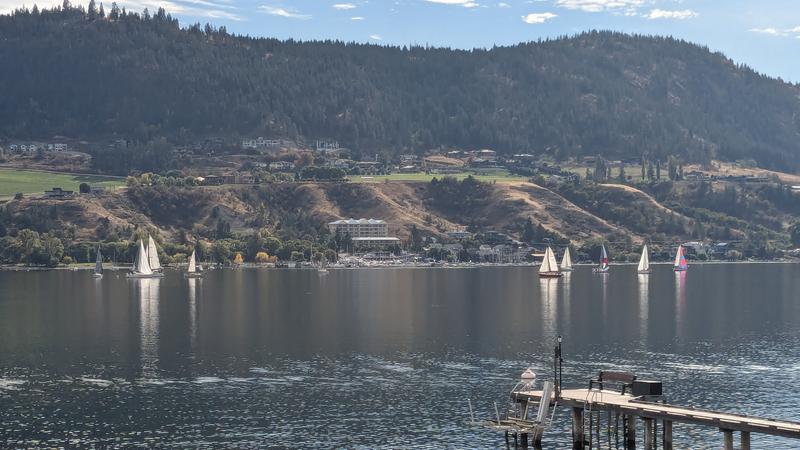
Vernon Matters file photo
High Pressure System
Brief burst of warmth expected to start the spring
Mar 20, 2025 | 2:05 PM
The Okanagan could see a bit of a warm spell to kick off the spring.
The spring equinox occurred at 2 a.m. Thursday, Mar. 20, and Lisa Erven, a meteorologist with Environment Canada, said the spring can bring all sorts of weather including snow and rain, heat, and thunderstorms, and that all those should be on display over the coming weeks.
Erven told Vernon Matters that the forecast showed cooler than normal temperatures with a risk of showers in the valley and flurries in the higher elevations until about the afternoon of Sunday, March 23, but then the Okanagan should get a burst of warmth.
“In the high map system we have a ridge of high pressure coming up from the U.S., bringing with it a much warmer air mass,” the meteorologist said.