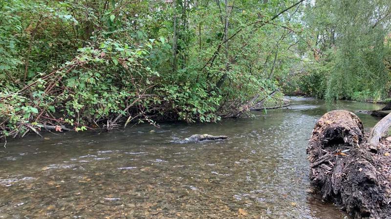
Stream levels in the Okanagan are expected to decline now that the snow melt is over and rain levels are decreasing. (File photo/Vernon Matters)
Drought Conditions

Incoming heat wave could lead to increased drought risk: River Forecast Centre

Jul 5, 2024 | 5:00 AM

The mercury is rising in Vernon and the Okanagan, which could translate to drought conditions worsening.

The weather forecast calls for the daytime highs to reach 37° Celsius Monday, July 8, and stay in the mid- to upper-30s in the days to follow.

The Okanagan has been at Drought Level 1 (on the 0-5 classification system) for the past five weeks, but that could change with the heat rising.

“Droughts tend to be more on that slower moving end of things and really is the cumulative build-up of a lack of rain that can really drive things,” David Campbell, Head of the B.C. River Forecast Centre, told Vernon Matters.

“Certainly when we see this shift in temperature — and very hot temperatures really do drive the evaporation up — and that can come from direr weather as well. So that can really lead to those more short-term issues and start to build up that deficit in terms of soil moisture and run-off into streams.

“I think we are going to see a bit of a transition in the next couple weeks in a lot of the streams through the region where we’re past that influence of the snow melt, or at least the influence is really waning. There’s really very little snow left aside from pockets of very high areas, like we are picking up some snow still in the Enderby snow weather station, but elsewhere the snow is gone. So the rain over the last four to six weeks has helped to keep rivers a little bit higher than we would have expected, but as it transitions to drier, we are expecting things are going to drop off quite a bit, in terms of stream flow, and that could result in seeing the drought codes for the region potentially rising.”

The B.C. River Forecast Centre provides weekly updates on the drought conditions based on rainfall and stream flows, though Campbell said the next four to eight weeks could be “critical window” to watch for rising drought levels in the Okanagan.

Campbell said the Okanagan and most of B.C. has been facing challenges with the low snowpack and the drought deficit dating back to the summer of 2023, though there had been some slight improvements with spring precipitation to keep the local drought conditions at Level 1.

“What we’ve seen is we started to work our way through the spring freshet, and as we come into the summer, the weather’s been pretty favourable the last month or two,” Campbell explained.

“We’ve seen a reasonable amount of spring precipitation and that’s maybe not cleared up the full long-term precipitation deficits we have, but it’s been helpful for the drought situation, and as a result, we’ve seen that decline in drought level, particularly through the Okanagan.”

The Head of the River Forecast Centre noted that while the recent rainfall has helped in the short-term, it hasn’t done much to address the drought deficit that the Okanagan and much of B.C. has recorded over the last year.

“Looking at the gauge for Kelowna, as an example, the typical year we get something like 300, 350 millimetres of rain. This year, over the last 365 days, it’s been maybe 100 millimetres short of that, then over the last two years we we’re probably short closer to 300 millimetres,” Campbell told Vernon Matters.

“So it’s quite a lot. It’s still several months of above-normal rainfall to fully get us reset on what we’re seeing and, obviously with coming into the summer it is the drier period and we tend to get less rain, so I really wouldn’t expect to make up those deficits until we go through the rest of the summer.”

Water-use restrictions are set by local governments, but Campbell still advised people to do their part to reduce the burden on the water supply by following all orders, taking shorter showers, putting off things like washing cars, and not watering gardens and lawns during the peak of the daytime heat.

View Comments