Get the Top, Local stories delivered to your inbox! Click here to join the daily Vernon Matters newsletter.
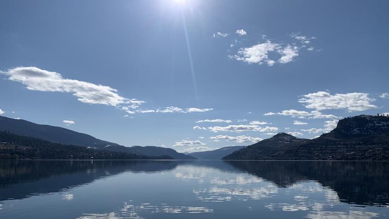
File photo of Kalamalka Lake. (Liam Verster/Vernon Matters Staff)
110+ Year Old Records

Warm snap bringing potential record temperatures to Vernon

Mar 13, 2024 | 3:08 PM

Temperature records that have been in place for over 110 years in Vernon could fall this weekend.

Environment Canada is forecasting sunshine through the week, with the mercury rising to 14 Friday, 16 Saturday, 18 Sunday, and 17 on Monday.

“[The previous record high] for this Friday, that’s March 15, we have 16.7 which was set in 1910 for Vernon,” Alyssa Charbonneau, a meteorologist with Environment Canada, told Vernon Matters.

“For the 16th, which is Saturday, we had 16.1 Celsius set back in 1915, so old records. Then for the 17th, we had 18.3 Celsius set in 1914. And records go back to 1900.”

She added other communities across B.C. could also see temperature records set this weekend, as a high pressure system builds over the province, bringing with it dry and warm weather to much of the province.

Charbonneau noted the temperatures in the forecast are well above Vernon’s seasonal average of 8 C for this time of year.

While it may feel like late-spring over the weekend, it’s not expected to last long.

“At this point, at least, it doesn’t look like it will persist for two or three weeks of these temperatures above normal like this” Charbonneau explained.

“Towards the middle or latter part of next week we’re forecasting temperatures to return to closer to seasonal values, and we do start to see potential values for some precipitation.”

She added the long-term forecast is not a certainty, but as of time of publication, it did not appear that summer had come early for Vernon and that some cooler, wetter weather could be expected through the spring.

Environment Canada did not have winter precipitation levels for Vernon, but Charbonneau did say Kelowna and Kamloops had slightly above normal precipitation this winter, and Penticton had a lot more than usual.

“Throughout the Thompson-Okanagan, precipitation this winter was sort of near-normal or even slightly above-normal, so that’s good news I suppose,” the weather agency’s meteorologist told Vernon Matters.

“But the other part of that is that we did see a lot of that fall as rain, so if we’re considering impacts in terms of potential for drought or wildfires going into the spring and summer, a lot of that has to do with how much snow we have in our snowpack.”

The latest snowpack report from the B.C. River Forecast Centre showed the Okanagan was below normal for this time of year.

Charbonneau added the warm weather could bring higher risk of avalanches over the weekend, and advised people adventuring in the back country to be aware of the risk and prepared for any events.

View Comments