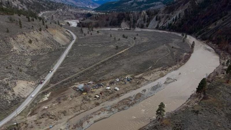
Flood watch expands in northern B.C. amid ‘major uncertainty’ over where rain to fall

Jun 4, 2022 | 2:04 PM

SMITHERS, B.C. — The River Forecast Centre says the “bullseye” for an anticipated downpour of rain in northwestern British Columbia has shifted, prompting the centre to expand its flood watch in the region to the Skeena River.  

New modelling suggests higher flows in the Skeena, whereas the projected peaks on the Bulkley River have dropped since Friday. 

The forecast centre warns there is “major uncertainty” around where the rain will fall, however, and says that will determine whether flooding occurs.

It says 10 to 15 millimetres of rain has fallen in the Skeena and Bulkley watersheds since a low-pressure system moved in on Friday, and another 20 to 50 millimetres is forecasted over the next three days. 

Northwestern British Columbia is among several regions in the province under flood watch, with some residents in the Okanagan, Boundary, Nicola River and Spius Creek regions also asked to prepare for possible flooding. 

Residents in the areas of Terrace, along the Skeena, and Smithers along the Bulkley, are among those on evacuation alert, meaning they should be prepared to leave at a moments notice. 

Lorne Benson, a town councillor in Smithers, says seven properties are under alert and volunteers are bringing sandbags to those who want them. 

“We’re anxiously waiting to see what’s going to happen with the water levels,” Benson said. 

“As long as the rainfall doesn’t increase immediately, we’re keeping our fingers crossed that things should be OK, but our real concern is the prolonged cool spring and the longer accumulation of snow at higher elevations.”

The forecasting centre has warned the flood risk has grown across much of British Columbia, with the spring thaw delayed about a month and rising temperatures threatening to melt mountain snow too quickly. 

This report by The Canadian Press was first published June 4, 2022.

The Canadian Press

View Comments